Mont Revard - Féclaz en boucle

GuyCharvier
User
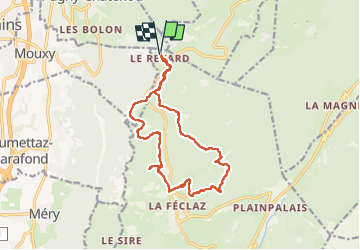

Length
15.5 km

Max alt
1501 m

Uphill gradient
451 m
Km-Effort
22 km

Min alt
1309 m

Downhill gradient
452 m
Boucle
Yes
Creation date :
2022-08-06 07:48:45.416
Updated on :
2022-08-06 15:09:26.15
5h30
Difficulty : Easy

FREE GPS app for hiking
 SityTrail
IGN / Geographical institutes
SityTrail Plus
The world is yours!
About
Trail Walking of 15.5 km to be discovered at Auvergne-Rhône-Alpes, Savoy, Les Déserts. This trail is proposed by GuyCharvier.
Description
Belle rando avec une partie de l'itinéraire hors sentier mais relativement facile, au retour halte au restaurant du Loup qui a un cadre magnifique.
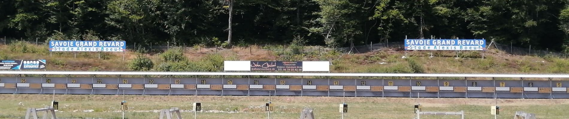
Photos


Positioning
Country:
France
Region :
Auvergne-Rhône-Alpes
Department/Province :
Savoy
Municipality :
Les Déserts
Location:
Unknown
Start:(Dec)
Start:(UTM)
731877 ; 5062964 (31T) N.
Comments